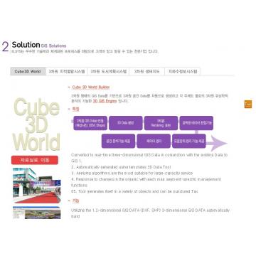
Converted to real-time three-dimensional GIS Data in conjunction with the existing Data to GIS 1.
2. Automatically generated using templates 3D Data Tool
3. Applying algorithms are the most suitable for large-capacity service
4. Response to changes in the organic with each map segment-specific management functions
05. Tool generates itself in a variety of objects and can be punctured Tax


Share GIS Solution in Social Media