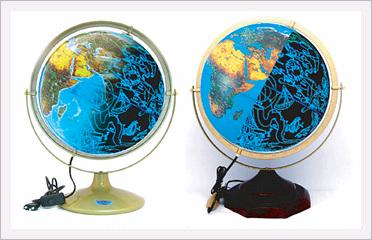
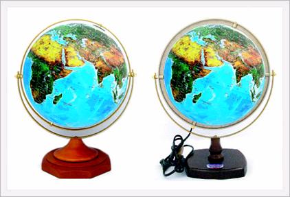
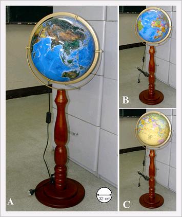
Triple Teaching Tools Model No. SJ-32-EX
456 questions and answers of essential excercises of geography-information, and over two hundred black-and-white maps to support the themes described in the text.
Indispensable teaching tools for lesson in geography!
Most Suitable size and Convennient Scale for Purposes of Education!
Diameter :32cm
Circumference : 1meter
Scale : App. 1/40,000,000
Exercises include;
Distributions and positions of physical features on the earth
Drawing of geographical extent
Locating of geographical place-names
Marking of geographical boundaries
Comparing the sizes of continents and countries
Measuring the distances between the two points in all direction
Calculating the globe scale and areas
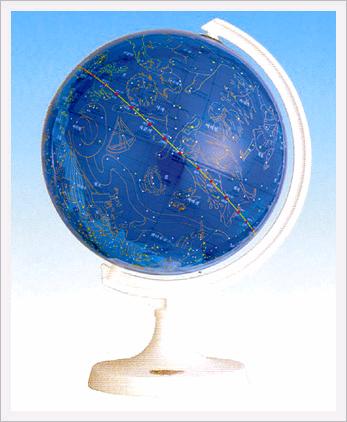
Drawing the lines of great Circle Route Numbering at 10° interval of the parallel and meridian
All imaginary lines on the globe where they run through
A good many geographical facts about continents and countries etc.
Examples of questions
At what points would latitude 0° and longitude 0° be located?
Why is the International Date Line drawn along the 180° longitude?
Why are many globes tilted for a certain angles?
Why is sometimes Africa called "Dark Continent"?
Why is the world's longest mountain ranges?
Where does the Mississippi rise?
Which country has eight of the world's highest peaks?
Greenland appears larger tha Australia on the map. What is the reason?
What is the world's largest body of freshwater?
What is an enclave lying within the Republid of South Africa?
What is the largest country in the world which has land boundaries with 12 countries?
What is the name of country sittign astride the equator in Africa?
Midway Islands in the north central Pacific Ocean is named because of its position on the route between USA and Japan. Measure the distances from San Francisco and Tokyo respectively.
What countries are landlocked in Europe?
Draw an approximate boundary lines of each division fo Pacific Islands : Polynesia, Melanesia, and Micronesia on your globe.
You will find the answers to these questions and several hundred more in this informative book of geography.
find out the unfamiliar places, study the internaltion boundaries of the countries, learn the geographical facts of the countries, remember the distributions and positions of the physical features, compare the countries in size, examine into the regions where all imaginary lines run through, measure the distance between places on a Political Globe, and Mark, or draw geographical lines, lengths, areas, boundaries, divisions, and other useful facts on a Blank Globe. The knowledge of geography will be at your fingertipss.
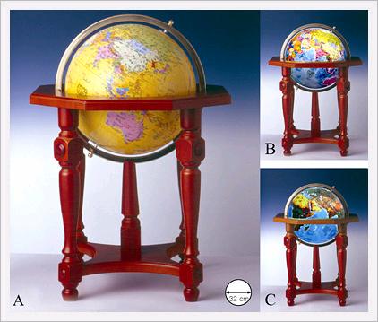
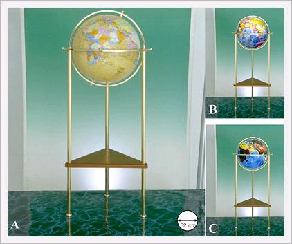
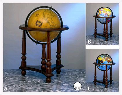
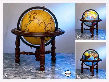
New Exercise Globes

Description
Product Inquiry
Purchase Product Catalog
Payment & Shipping Conditions:
- Payment: We accept payment through Paypal Only.
- Shipping: We will ship the catalog once the payment is received. And you will be receiving the catalog with in 10 -14 busines days. Shipping might be delayed in due to international shipping conditions which is depends on the countries receiveing. In case hard copy of catalog is not available then we will ship the soft copy.
- Refund: We can refund the order before shipping process was initiated. Incase Catalog not available, we will make sure to refund the order.
- Note: This is a Catalog Produt.
Share New Exercise Globes in Social Media